Google Maps upset Ukrainians' positions photos: Russians actively using snapshots.


Updated Google Maps photos 'revealed' the locations of Ukrainian military positions.
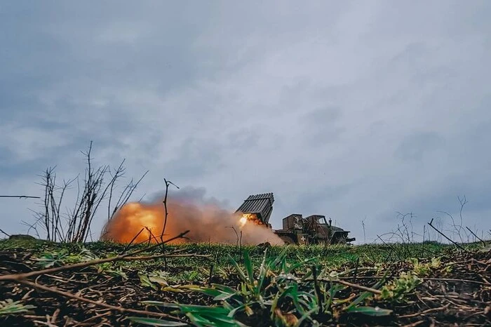
Head of the Center for Countering Disinformation (CPD) Andriy Kovalenko reported that updated Google Maps photos revealed the locations of Ukrainian military positions. He appealed to Google Maps to correct this situation, but received a response that it was impossible due to the weekend. Russians, in turn, are actively using these snapshots.
"Imagine the situation. Google posts updated images on maps showing the locations of our military systems. We asked them to quickly correct this, but they said they are off on weekends. Russians are already actively using these snapshots. What is wrong with this world?" - Kovalenko wrote.
After the public reaction, the head of CPD reported that he contacted Google representatives. They are already working on correcting the situation with snapshots of the locations of Ukrainian military systems.
"We will also discuss how to promptly resolve similar issues in the future," - Kovalenko added.
Reminder, Russia attacked Kyiv and the region with drones overnight.
Read also
- Suiciders on Motorcycles Break into the Rear and Exhaust the Armed Forces of Ukraine – The Times
- Zelensky Reveals Details of Conversation with Trump about Patriot and Negotiation Process
- Threat to Dnipro: Ukrainian Armed Forces reported the destruction of a Russian aerial target outside the city
- The Governor of Bryansk Region reported a nighttime drone attack
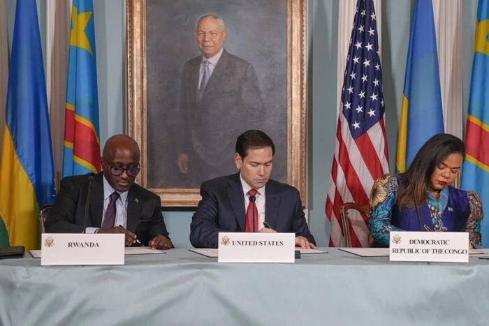
- Rwanda and Congo signed a peace agreement mediated by the USA
- End of Negotiations: Trump Sharply Changed Course in Dialogue with Canada on Tariffs